

Modern Methods
Taking advantage of emerging technology we can capture, process, and host 3D files with much higher detail than aerial photographs, satellite imagery, and 360 media.
Our method ensures the highest quality product possible, and can be completed in a fraction of the time when compared to above processes.


The Process:
We Do It All. Let Us Know Where To Scan, And We’ll Take Care Of The Rest…
Step 01

Capture Data On Site

Step 02
Image Correction, Model Generation, And Simplification

Step 03
Upload To Cloud For Visualization & Sharing

Examples
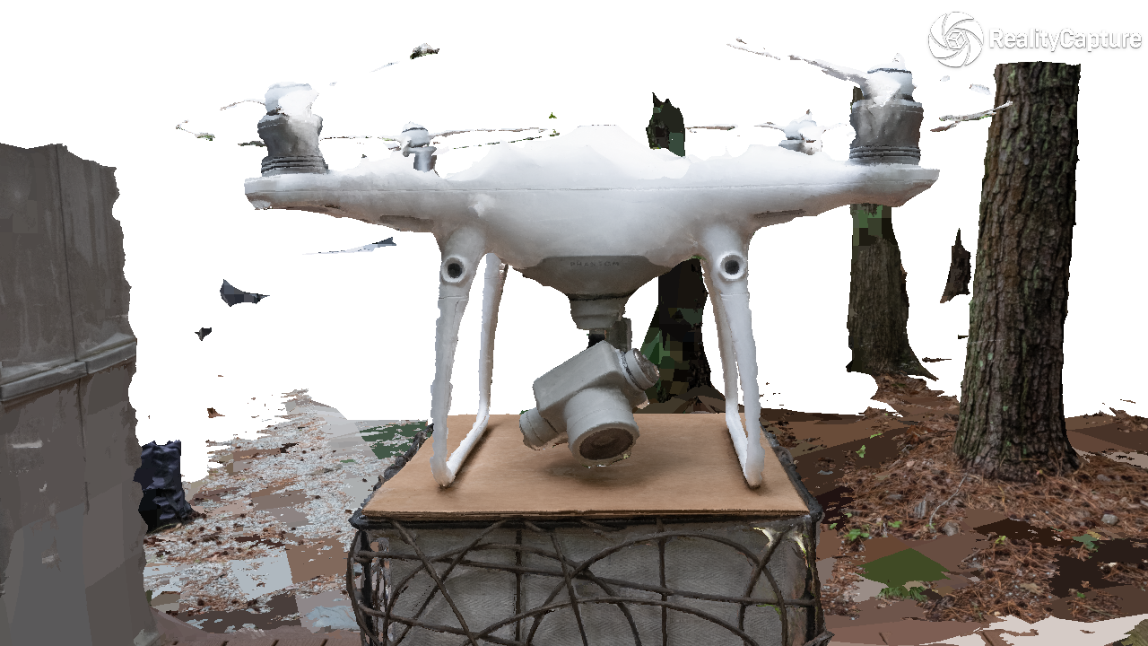
Our team uses different camera systems depending on your needs. Large projects tend to require aerial images while smaller ones are better suited for handheld pictures.
Our hybrid strategy fills in details missing from the standalone aerial or ground data. See examples of each strategy in action below:

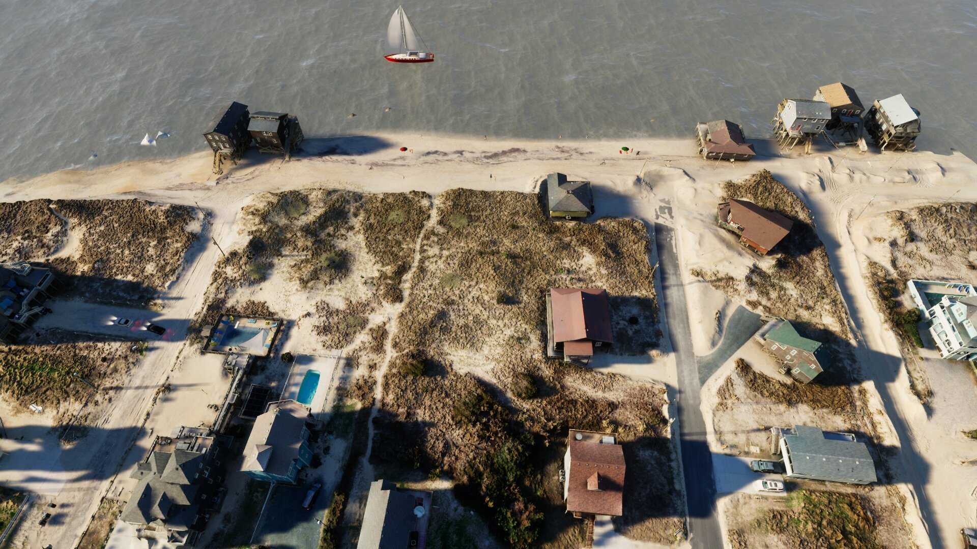
Aerial Only
Exclusively using drone imaging allows for rapid coverage of large areas while reducing processing cost


Hybrid
Blending drone and handheld data produces models that are the most true-to-life, offering the highest detail and coverage

Ground Only
Handheld-only models are the fastest and simplest way to create 3D scans. More data can always be added later

Come Fly With Us.
See one of our example 3D models here! Click the button below to access a secure page with one of our 3D models, the password is 12345